New trail segment opens in downtown Roseville
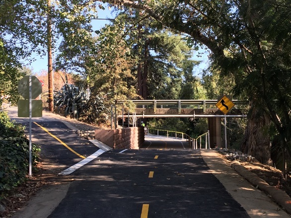
A new portion of trail is now open between Folsom Road and Lincoln Street. This trail connects the existing Miner's Ravine Trail from Sierra College Boulevard to Royer Park. With next year's completion of the Downtown Bridges & Trail Project, the trail will continue further through Royer Park and on to Darling Way. This will result in a continuous 6-mile off-street trail through Roseville.
Free public parking is available in the trailhead lot adjacent to Fire Station 1 on Lincoln Street. More spots are also located in the Vernon Street and Oak Street parking garages.
Construction was funded with Transportation Development Act funds. No City of Roseville General Fund money was used on the project.

Temporary closure on Pleasant Grove Creek Trail
Drainage work has temporarily closed the South Branch of the Pleasant Grove Creek Trail where it passes under Woodcreek Oaks Boulevard. Please choose an alternate route. This trail segment is anticipated to reopen in several weeks. The remainder of the Pleasant Grove Creek Trail remains open.
View a map of all trails and bikeways.
|
Dry Creek Greenway EAST: Transportation Commission to consider final environmental report
The Dry Creek Greenway East Project will be discussed at the upcoming Transportation Commission meeting. Under consideration is certification of the Project Environmental Impact Report (EIR), selection of the trail alignment in the Riverside Avenue and Sunrise Avenue areas, and project approval.
LEARN MORE.
Dry Creek Greenway WEST:
View feedback from open house and online workshop
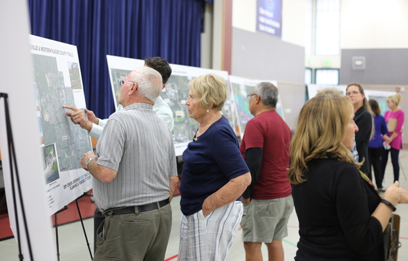
More than 200 people shared ideas about the Dry Creek Greenway West at the second community open house and online workshop.
This valuable feedback is being considered along with other criteria such as creek location, topography, safety, aesthetics, and land use impacts.
A draft study that includes preferred trail alternatives will be available for public review in early 2019.
LEARN MORE.
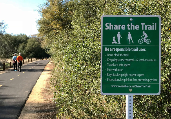
More Share the Trail signs and pavement markings on Roseville paths
Roseville’s trails are a great place for fun and transportation. Please remember to Share the Trail whether you're on foot or on wheels.
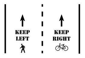
Similar to other trails in our region, bicyclists keep to the right lane, except when passing. Pedestrians keep to the left lane so they can see oncoming cyclists. Seeing oncoming trail users is especially helpful if you're wearing headphones.
In addition to Share the Trail signs, you'll notice new pavement markings showing the travel direction for pedestrians and bicyclists.
By following these safety tips, we can all enjoy our more than 35 miles of paths.
LEARN MORE.
|
|


Recommended Comments
Join the conversation
You can post now and register later. If you have an account, sign in now to post with your account.